Discovery Series for iPad
Summary
Herff Jones | Nystrom needed a series of maps that could demonstrate the power of StrataLogica for the free users of the iPad app. I contributed to the design and editing process for the Plate Tectonics thematic map and historical World in 1600s map. The project was completed on time.
My Part
Cartographer
Skills Learned + Demonstrated
Thematic and reference map design
Data implementation
Adherence to the creative process (draft, create, revise)
The Proposal
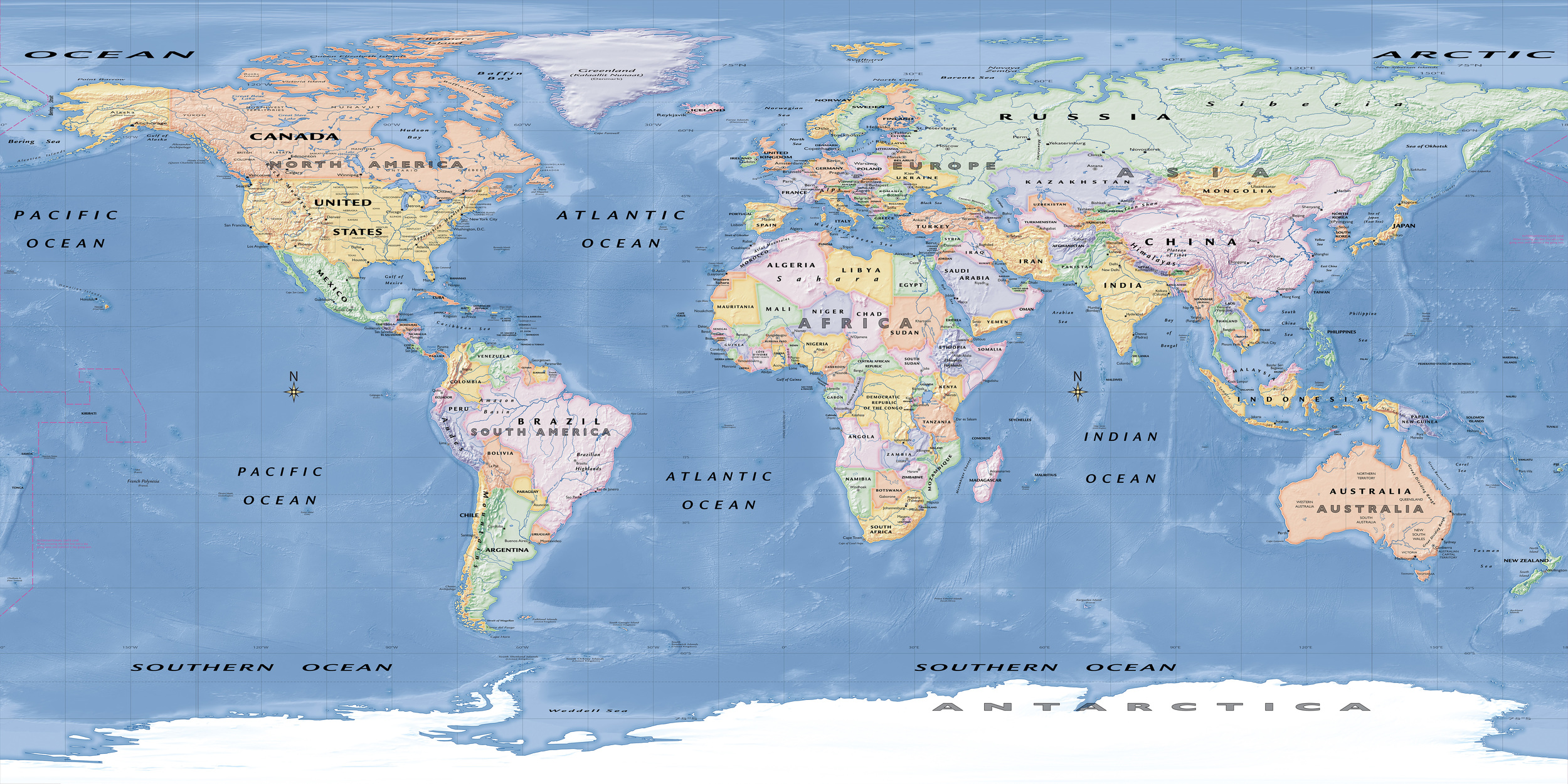
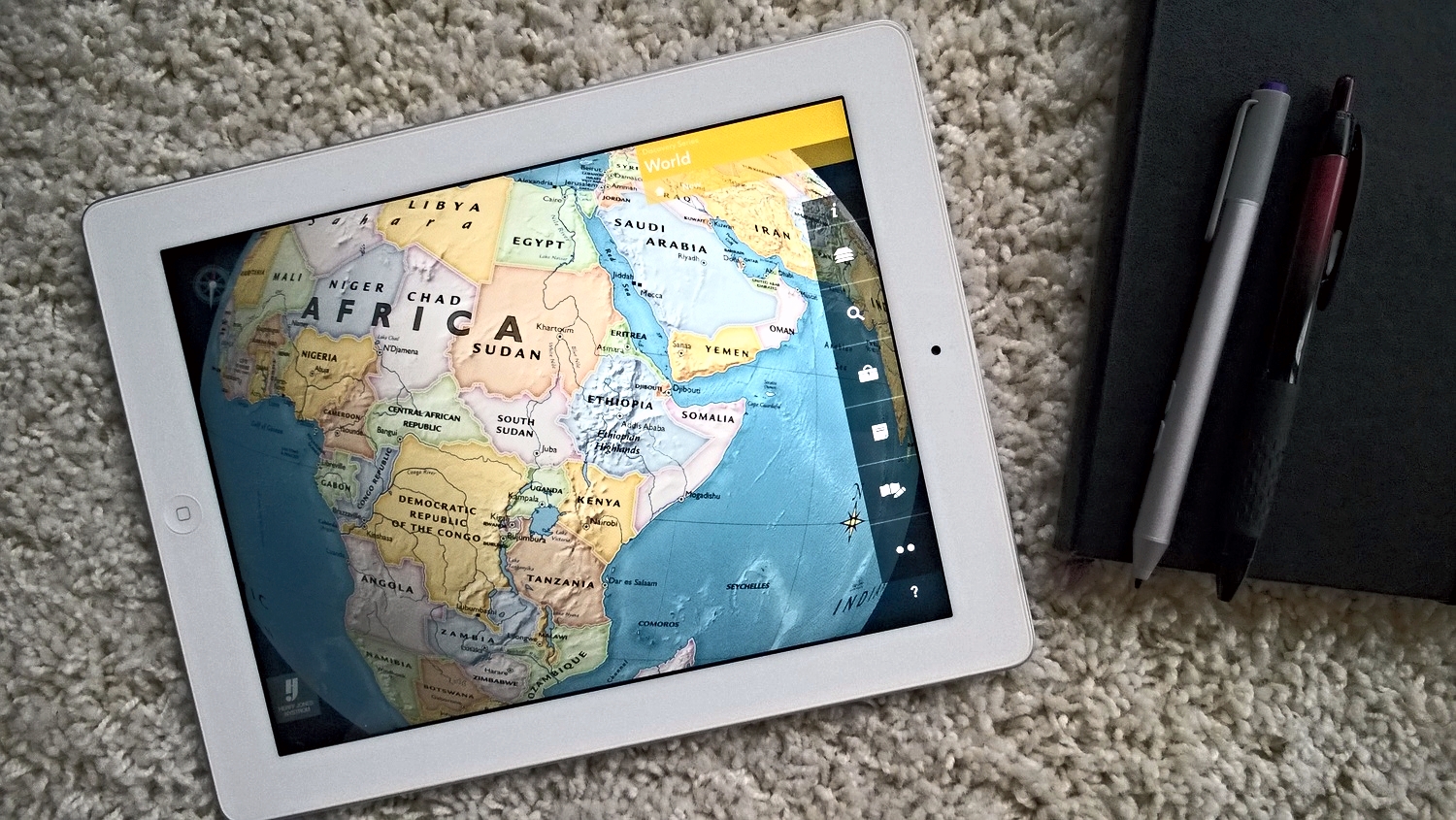
The Discovery Series needed to be a small series of maps that were intended to attract a new audience to StrataLogica. Up until the creation of the Discovery Series, all StrataLogica content was behind a subscription-based paywall. By removing this paywall for iPad users, Herff Jones | Nystrom had a unique opportunity to attracted users that have an influence on whether a school may purchase a subscription for its students. These users could be parents, students, teachers, etc. It was decided that a reference, thematic, and historical map would be created for this series.
What I Did
As part of the team that developed the Discovery series, I was involved with vetting the information and research that went into the plate tectonics thematic map alongside the production of the map itself. Using several sources I successfully developed an accurate depiction of all major fault lines around the Earth.
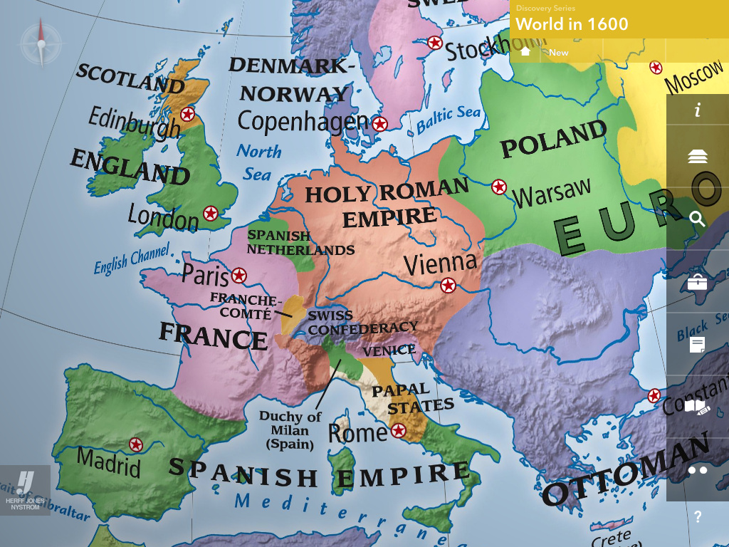
Additionally, I contributed to the design of the world in the 1600s historical map. Bright colors were chosen to provide sharp contrast between empires and non-colonized land and smoothed borders were chosen to depict obscure borders in vast open areas.
First drafts aren't without their problems, however, and I did several rounds of edits and critiques on other maps, as well as my own, to create a quality product.
The Result
The Discovery Series was finished on time and implemented into the StrataLogica app.